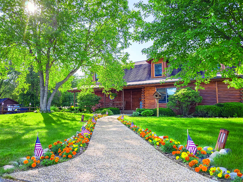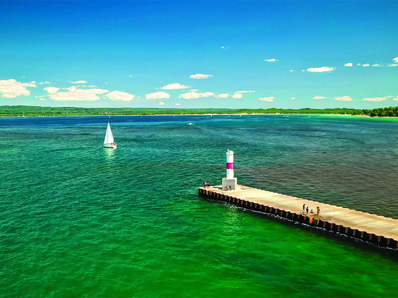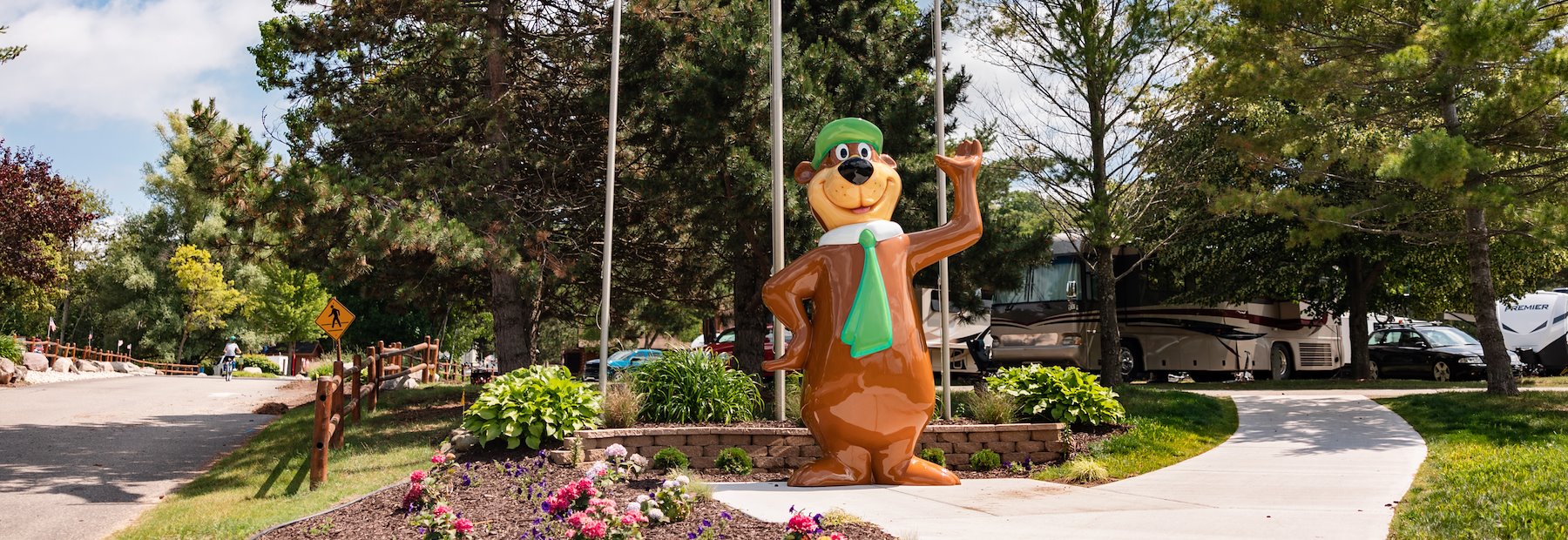
Experience "million-dollar" sunsets and hunting for famous Petoskey stones during your Northern Michigan vacation at Jellystone Park™ Petoskey, formerly Petoskey KOA. You'll also get to spend time with YOGI BEAR™ and his friends at our family-friendly resort, one of the highest-ranking RV parks in North America.
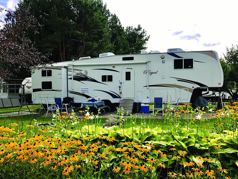
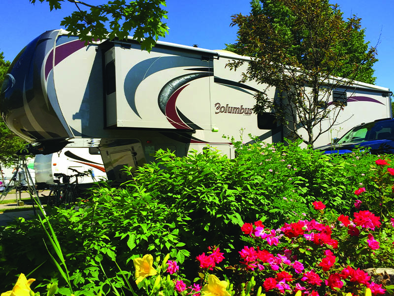
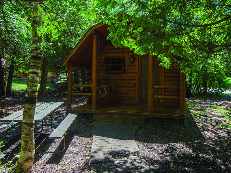
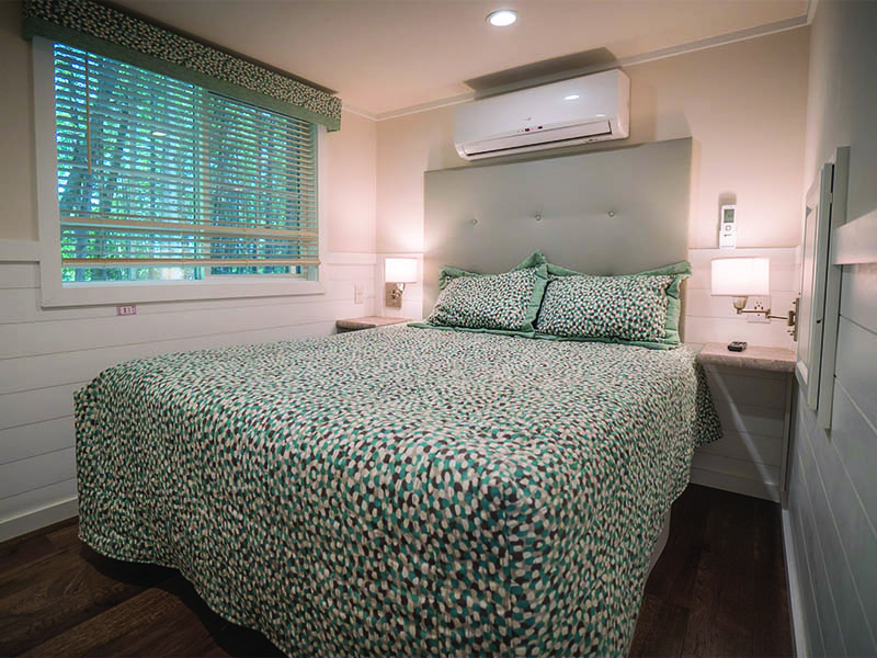
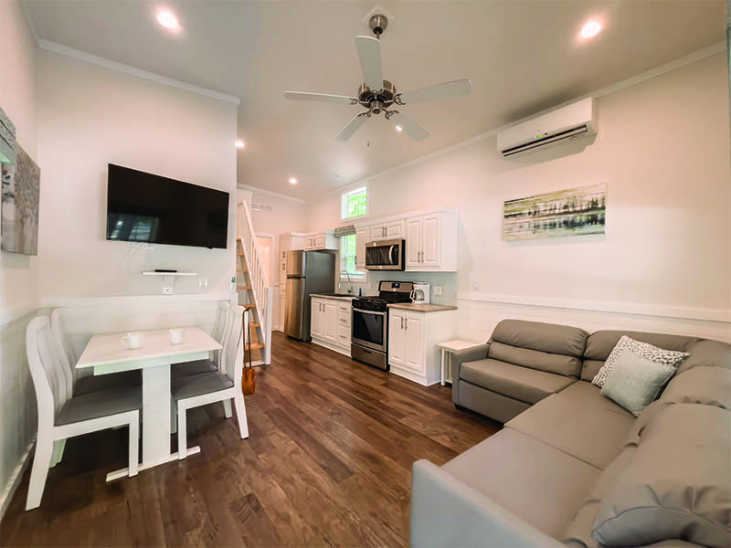
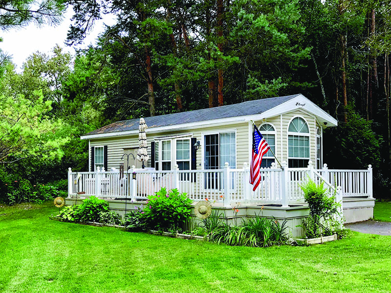
We offer mostly wooded and beautifully landscaped grounds that provide everything you could need for a relaxing vacation in Michigan's great outdoors. Set up camp on spacious full hookup RV sites with concrete pads or get back to basics and experience tent camping underneath the starry skies. You'll also find a great selection of cabin and cottage rentals if you prefer more of a home away from home.